
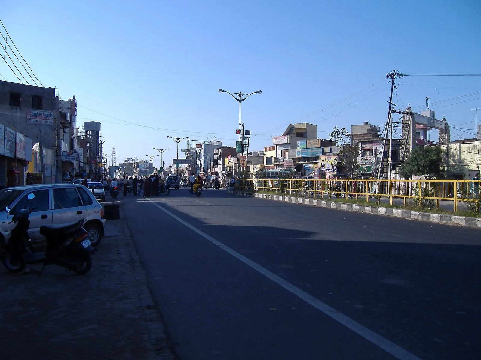
Garhshankar is a tehsil town in Hoshiarpur district, Doaba, with a tradition tracing its founding to about 1000 AD and a chief named Shankar — hence 'the fort (garh) of Shankar'. The British made it a tehsil in 1844. The 2011 census counted 16,955 residents. It sits near the borders of SBS Nagar and Rupnagar districts, serving as a market town for the surrounding Kandi-edge villages.
- Facts
- Type
- Town
- District
- Hoshiarpur
- Region
- Doaba, Punjab (India)
- Name means
- The fort (garh) of Shankar
- Founded
- Traditionally c. 1000 AD, by Shankar Sahai
- Tehsil since
- 1844 (British administration)
- Population
- 16,955 (2011 census)
History
Garhshankar's name preserves its origin story: the garh (fort) of Shankar. Tradition holds that a Doad Chandravanshi Rajput chief named Shankar Sahai founded the settlement around 1000 AD, though his fort was later destroyed by western conquerors. Before Partition the town had a significant population of Muslim Ghorewaha (Kachhwaha) Rajputs, a reminder of the region's layered past. The British administration converted Garhshankar into a tehsil in 1844, and it has remained an administrative centre ever since.
The town sits at a district crossroads — near the meeting point of Hoshiarpur, SBS Nagar and Rupnagar — which has kept its courts, colleges and grain market busy serving three districts' border villages.
Geography & people
Garhshankar lies at about 268 metres above sea level on the road network linking Hoshiarpur with Nawanshahr, Banga and Rupnagar. The municipal council counted 16,955 people in 2011, with a literacy rate of about 73 per cent. Punjabi is the everyday language. The town's hinterland is the transitional country between the Doaba plain and the Shivalik foothills, growing wheat, maize and paddy.
Nearby towns named on its signboards tell its geography: Nawanshahr and Banga to the west, Rupnagar and Anandpur Sahib to the east — Garhshankar is the junction between them.
Places of interest
Garhshankar is a working administrative town rather than a tourist spot, but its thousand-year pedigree gives it a quiet historical texture. The tehsil complex, the town's colleges — including the Babbar Akali Memorial Khalsa College — and the surrounding village gurdwaras and temples are its landmarks. The Shivalik foothills to the north-east offer green escapes.
Notable people
In recent politics Garhshankar is known as the assembly constituency of Jai Krishan Singh Rouri of the Aam Aadmi Party, elected MLA in 2017 and again in 2022. Beyond electoral politics, the town's distinction lies in its schools and colleges, which have educated generations of the border villages of three districts.
ਇਤਿਹਾਸ
ਗੜ੍ਹਸ਼ੰਕਰ ਦਾ ਨਾਂ ਇਸ ਦੀ ਮੂਲ ਕਥਾ ਸਾਂਭੀ ਹੋਈ ਹੈ: ਸ਼ੰਕਰ ਦਾ ਗੜ੍ਹ। ਪਰੰਪਰਾ ਅਨੁਸਾਰ ਦੋਦ ਚੰਦਰਵੰਸ਼ੀ ਰਾਜਪੂਤ ਮੁਖੀ ਸ਼ੰਕਰ ਸਹਾਇ ਨੇ ਲਗਭਗ 1000 ਈਸਵੀ ਵਿੱਚ ਇਹ ਵਸੋਂ ਵਸਾਈ, ਹਾਲਾਂਕਿ ਉਸ ਦਾ ਕਿਲ੍ਹਾ ਬਾਅਦ ਵਿੱਚ ਤਬਾਹ ਹੋ ਗਿਆ। ਵੰਡ ਤੋਂ ਪਹਿਲਾਂ ਇੱਥੇ ਮੁਸਲਮਾਨ ਘੋੜੇਵਾਹਾ (ਕਛਵਾਹਾ) ਰਾਜਪੂਤਾਂ ਦੀ ਵੱਡੀ ਆਬਾਦੀ ਸੀ। 1844 ਵਿੱਚ ਅੰਗਰੇਜ਼ ਪ੍ਰਸ਼ਾਸਨ ਨੇ ਗੜ੍ਹਸ਼ੰਕਰ ਨੂੰ ਤਹਿਸੀਲ ਬਣਾਇਆ।
ਭੂਗੋਲ ਅਤੇ ਲੋਕ
ਗੜ੍ਹਸ਼ੰਕਰ ਸਮੁੰਦਰ ਤਲ ਤੋਂ ਲਗਭਗ 268 ਮੀਟਰ ਦੀ ਉਚਾਈ ਉੱਤੇ ਹੁਸ਼ਿਆਰਪੁਰ ਨੂੰ ਨਵਾਂਸ਼ਹਿਰ, ਬੰਗਾ ਅਤੇ ਰੂਪਨਗਰ ਨਾਲ ਜੋੜਨ ਵਾਲੀਆਂ ਸੜਕਾਂ ਉੱਤੇ ਸਥਿਤ ਹੈ। 2011 ਵਿੱਚ ਨਗਰ ਕੌਂਸਲ ਦੀ ਆਬਾਦੀ 16,955 ਸੀ।
ਦੇਖਣਯੋਗ ਥਾਵਾਂ
ਗੜ੍ਹਸ਼ੰਕਰ ਸੈਰ-ਸਪਾਟੇ ਦਾ ਕੇਂਦਰ ਨਹੀਂ, ਸਗੋਂ ਪ੍ਰਸ਼ਾਸਕੀ ਸ਼ਹਿਰ ਹੈ। ਤਹਿਸੀਲ ਕੰਪਲੈਕਸ, ਬੱਬਰ ਅਕਾਲੀ ਮੈਮੋਰੀਅਲ ਖ਼ਾਲਸਾ ਕਾਲਜ ਅਤੇ ਆਲੇ-ਦੁਆਲੇ ਦੇ ਪਿੰਡਾਂ ਦੇ ਗੁਰਦੁਆਰੇ ਇਸ ਦੀਆਂ ਪਛਾਣਾਂ ਹਨ।
ਪ੍ਰਸਿੱਧ ਲੋਕ
ਹਾਲ ਦੀ ਸਿਆਸਤ ਵਿੱਚ ਗੜ੍ਹਸ਼ੰਕਰ ਆਮ ਆਦਮੀ ਪਾਰਟੀ ਦੇ ਜੈ ਕ੍ਰਿਸ਼ਨ ਸਿੰਘ ਰੌੜੀ ਦੇ ਵਿਧਾਨ ਸਭਾ ਹਲਕੇ ਵਜੋਂ ਜਾਣਿਆ ਜਾਂਦਾ ਹੈ — 2017 ਅਤੇ 2022 ਵਿੱਚ ਵਿਧਾਇਕ ਚੁਣੇ ਗਏ।
Timeline
- 1000Tradition dates the founding by Rajput chief Shankar Sahai.
- 1844The British administration makes Garhshankar a tehsil.
- 2011Census records a population of 16,955.
Garhshankar in the news
No stories link to this entry yet.